Danau Lau Kawar
⚠ Note: Temporarily CLOSED since 19 August 2026 (Karo Regency). Mount Sinabung has been at alert level III since the eruption of 31 August 2026; danger zone 3 km around the summit and 5 km to the south-southeast.
A mountain lake of about 200 hectares right at the northern foot of Mount Sinabung. Calm water, surrounding forest and the volcano behind make it a favourite camping spot.
The lake has been known since colonial times and is a popular camping spot for students and nature lovers from Medan and Karo. On its shore are a campground, a small jetty and bamboo rafts; mornings often bring light mist and Sinabung reflected on the water. Because it lies so close to Sinabung, access depends on the volcano's activity status.
- 🚗 Getting there
- From Kabanjahe/Berastagi to Naman Teran district, then to Kutagugung village at the foot of Sinabung.
- 🕘 Opening hours
- Closed since 19 August 2026 until further notice.
- 💡 Tip
- Check Karo Regency announcements and Mount Sinabung's status before you go; do not enter the area while it is closed.
Source: Danau Lau Kawar — Wikipedia · Pemkab Karo tutup sementara Danau Lau Kawar — ANTARA Sumut · PVMBG perbarui zona rekomendasi Sinabung — RRI
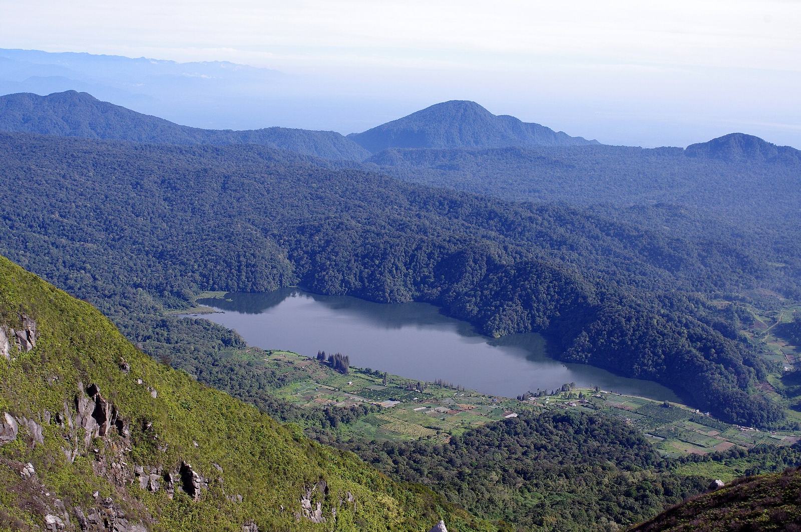 Foto: Bangbeni ·
 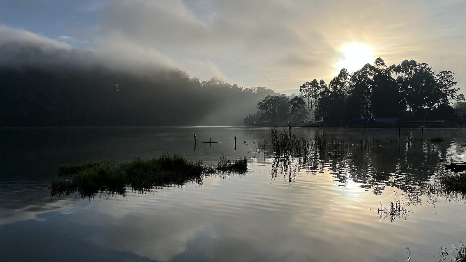 Foto: Nafisathallah ·
 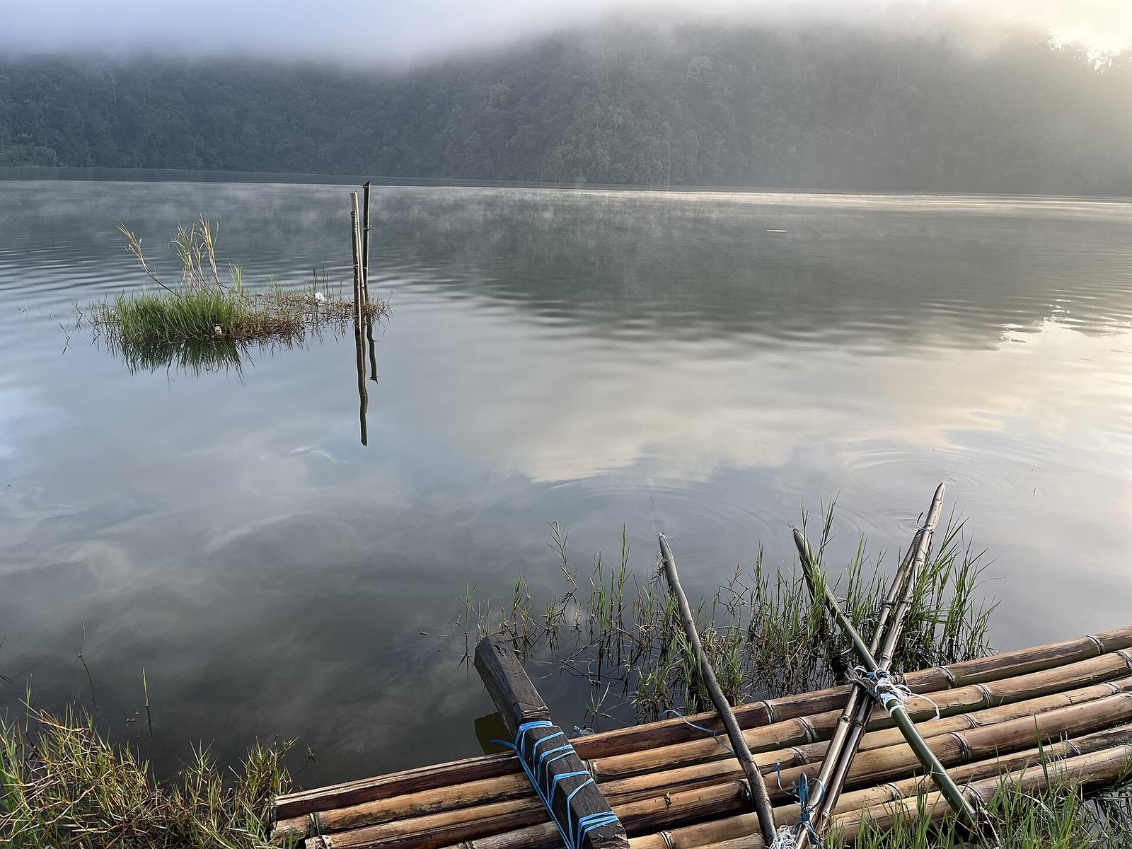 Foto: Nafisathallah ·